
Ouaka topographic map
Interactive map
Click on the map to display elevation.
About this map
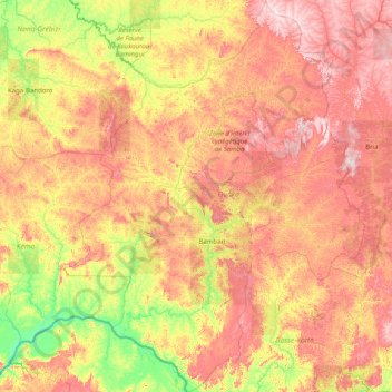
Name: Ouaka topographic map, elevation, terrain.
Location: Ouaka, Central African Republic (4.53290 19.45419 7.73098 21.92558)
Average elevation: 524 m
Minimum elevation: 350 m
Maximum elevation: 809 m