
Oakdale topographic map
Interactive map
Click on the map to display elevation.
About this map
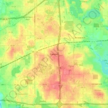
Name: Oakdale topographic map, elevation, terrain.
Location: Oakdale, Washington County, Minnesota, 55128, United States (44.94562 -93.00458 45.02562 -92.92458)
Average elevation: 303 m
Minimum elevation: 264 m
Maximum elevation: 335 m