
Brentwood topographic map
Interactive map
Click on the map to display elevation.
About this map
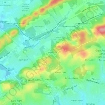
Name: Brentwood topographic map, elevation, terrain.
Location: Brentwood, Knox County, Tennessee, 37931, United States (35.93619 -84.11519 35.97619 -84.07519)
Average elevation: 325 m
Minimum elevation: 288 m
Maximum elevation: 401 m