
Kendallville topographic map
Interactive map
Click on the map to display elevation.
About this map
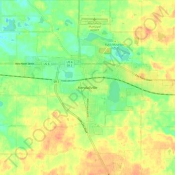
Name: Kendallville topographic map, elevation, terrain.
Location: Kendallville, Noble County, Indiana, 46755, United States (41.40144 -85.30498 41.48144 -85.22498)
Average elevation: 304 m
Minimum elevation: 283 m
Maximum elevation: 324 m