
New Lebanon topographic map
Interactive map
Click on the map to display elevation.
About this map
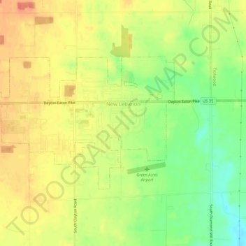
Name: New Lebanon topographic map, elevation, terrain.
Location: New Lebanon, Montgomery County, Ohio, United States (39.73149 -84.42593 39.75292 -84.37424)
Average elevation: 278 m
Minimum elevation: 250 m
Maximum elevation: 298 m