
Thank you for supporting this site ❤️
Make a donation
Make a donation
Alayta topographic map
Click on the map to display elevation.
Thank you for supporting this site ❤️
Make a donation
Make a donation
About this map
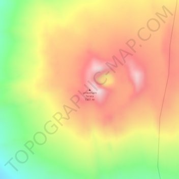
Name: Alayta topographic map, elevation, terrain.
Location: Alayta, Zone 4, Afar Region, Ethiopia (12.87861 40.56083 12.89861 40.58083)
Average elevation: 1,359 m
Minimum elevation: 1,130 m
Maximum elevation: 1,518 m
Thank you for supporting this site ❤️
Make a donation
Make a donation
Other topographic maps
Click on a map to view its topography, its elevation and its terrain.