
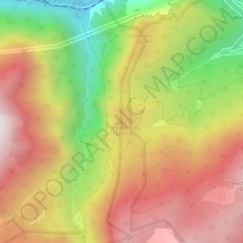
Goldeck topographic map
Interactive map
Click on the map to display elevation.
About this map
Name: Goldeck topographic map, elevation, terrain.
Location: Goldeck, Landl, Bezirk Liezen, Steiermark, 8931, Österreich (47.57894 14.71176 47.57904 14.71186)
Average elevation: 1,171 m
Minimum elevation: 519 m
Maximum elevation: 1,708 m