
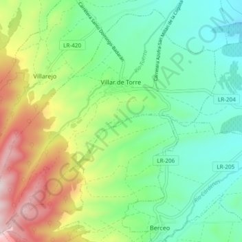
Villar de Torre topographic map
Interactive map
Click on the map to display elevation.
About this map
Name: Villar de Torre topographic map, elevation, terrain.
Location: Villar de Torre, La Rioja, España (42.33743 -2.90898 42.38783 -2.83527)
Average elevation: 797 m
Minimum elevation: 611 m
Maximum elevation: 1,180 m