
Helgoland topographic map
Interactive map
Click on the map to display elevation.
About this map
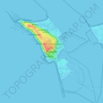
Name: Helgoland topographic map, elevation, terrain.
Location: Helgoland, Kreis Pinneberg, Sleeswijk-Holstein, 27498, Duitsland (54.16931 7.86484 54.19078 7.90016)
Average elevation: 2 m
Minimum elevation: 0 m
Maximum elevation: 54 m