
Pen-y-Drum topographic map
Interactive map
Click on the map to display elevation.
About this map
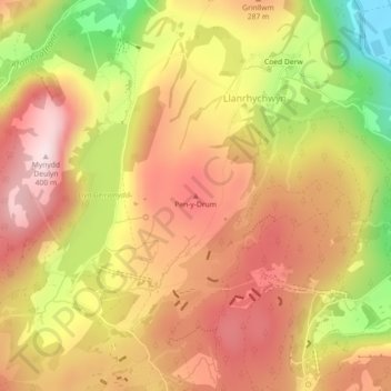
Name: Pen-y-Drum topographic map, elevation, terrain.
Average elevation: 232 m
Minimum elevation: 4 m
Maximum elevation: 383 m
Other topographic maps
Click on a map to view its topography, its elevation and its terrain.
Trefriw
United Kingdom > Wales > Conwy > Llanrhychwyn
Trefriw, Llanrhychwyn, Conwy, Wales, United Kingdom
Average elevation: 260 m