
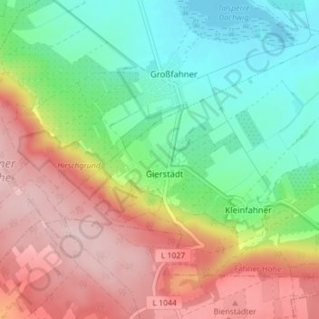
Gierstädt topographic map
Interactive map
Click on the map to display elevation.
About this map
Name: Gierstädt topographic map, elevation, terrain.
Average elevation: 281 m
Minimum elevation: 178 m
Maximum elevation: 412 m
Gierstädt ist eine Gemeinde im Landkreis Gotha in Thüringen. Sie gehört zur Verwaltungsgemeinschaft Fahner Höhe.