
Çiğli topographic map
Interactive map
Click on the map to display elevation.
About this map
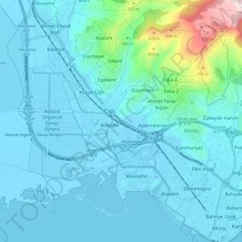
Name: Çiğli topographic map, elevation, terrain.
Location: Çiğli, Izmir, Aegean Region, 35630, Turkey (38.45036 27.02744 38.53036 27.10744)
Average elevation: 80 m
Minimum elevation: -5 m
Maximum elevation: 692 m