
Lari topographic map
Interactive map
Click on the map to display elevation.
About this map
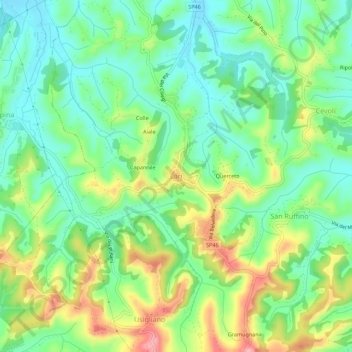
Name: Lari topographic map, elevation, terrain.
Location: Lari, Pisa, Tuscany, 50635, Italy (43.54602 10.57200 43.58602 10.61200)
Average elevation: 80 m
Minimum elevation: 31 m
Maximum elevation: 167 m