
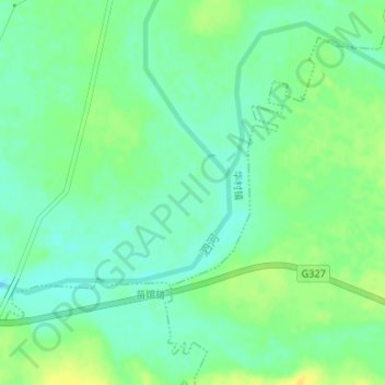
泗河 topographic map
Interactive map
Click on the map to display elevation.
About this map
Name: 泗河 topographic map, elevation, terrain.
Location: 泗河, 泗水县, 济宁市, 山东省, 中国 (35.63768 117.44723 35.65167 117.46579)
Average elevation: 122 m
Minimum elevation: 112 m
Maximum elevation: 135 m