
Graytown topographic map
Interactive map
Click on the map to display elevation.
About this map
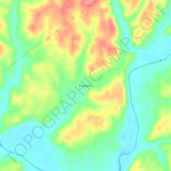
Name: Graytown topographic map, elevation, terrain.
Location: Graytown, Hickman County, Tennessee, United States (35.77090 -87.41974 35.81090 -87.37974)
Average elevation: 178 m
Minimum elevation: 141 m
Maximum elevation: 232 m