
Bon Air topographic map
Interactive map
Click on the map to display elevation.
About this map
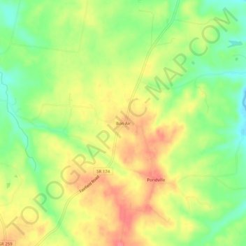
Name: Bon Air topographic map, elevation, terrain.
Location: Bon Air, Sumner County, Tennessee, United States (36.57477 -86.37805 36.61477 -86.33805)
Average elevation: 245 m
Minimum elevation: 207 m
Maximum elevation: 280 m