
Bir Tawil topographic map
Interactive map
Click on the map to display elevation.
About this map
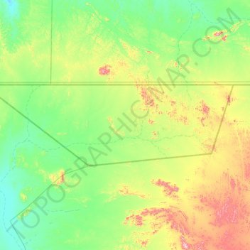
Name: Bir Tawil topographic map, elevation, terrain.
Location: Bir Tawil, Red Sea State, Sudan (21.72500 33.16667 22.00002 34.07986)
Average elevation: 390 m
Minimum elevation: 232 m
Maximum elevation: 803 m