
Hidden Lake topographic map
Interactive map
Click on the map to display elevation.
About this map
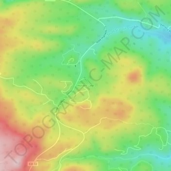
Name: Hidden Lake topographic map, elevation, terrain.
Location: Hidden Lake, Boulder County, Colorado, United States (40.08999 -105.49861 40.12999 -105.45861)
Average elevation: 2,679 m
Minimum elevation: 2,556 m
Maximum elevation: 2,833 m