
Wooster topographic map
Interactive map
Click on the map to display elevation.
About this map
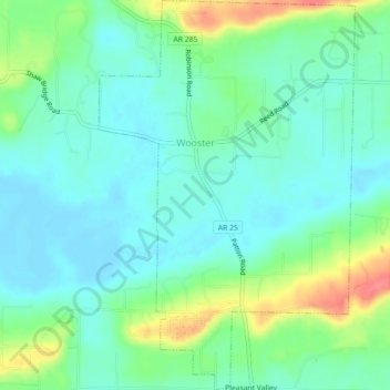
Name: Wooster topographic map, elevation, terrain.
Location: Wooster, Faulkner County, Arkansas, 72181, United States (35.17875 -92.46719 35.21546 -92.43759)
Average elevation: 101 m
Minimum elevation: 82 m
Maximum elevation: 149 m