
Lawson topographic map
Interactive map
Click on the map to display elevation.
About this map
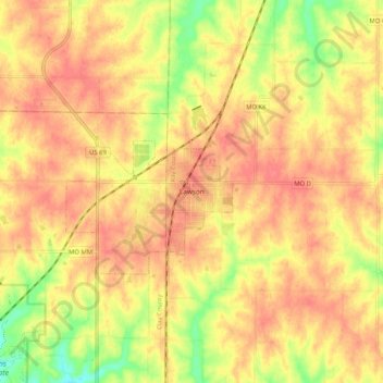
Name: Lawson topographic map, elevation, terrain.
Location: Lawson, Ray County, Missouri, 64062, United States (39.39834 -94.24411 39.47834 -94.16411)
Average elevation: 315 m
Minimum elevation: 276 m
Maximum elevation: 335 m