
Frenchtown topographic map
Interactive map
Click on the map to display elevation.
About this map
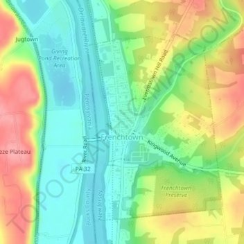
Name: Frenchtown topographic map, elevation, terrain.
Location: Frenchtown, Hunterdon County, New Jersey, United States (40.51752 -75.06674 40.53864 -75.04639)
Average elevation: 66 m
Minimum elevation: 27 m
Maximum elevation: 123 m