
Flat Gap topographic map
Interactive map
Click on the map to display elevation.
About this map
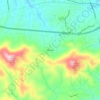
Name: Flat Gap topographic map, elevation, terrain.
Location: Flat Gap, Burke County, North Carolina, 28690, United States (35.70041 -81.59120 35.74041 -81.55120)
Average elevation: 438 m
Minimum elevation: 338 m
Maximum elevation: 634 m