
Blue Springs topographic map
Interactive map
Click on the map to display elevation.
About this map
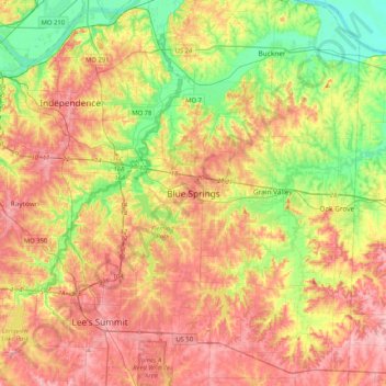
Name: Blue Springs topographic map, elevation, terrain.
Location: Blue Springs, Jackson County, Missouri, 64015, United States (38.85732 -94.44227 39.17732 -94.12227)
Average elevation: 270 m
Minimum elevation: 208 m
Maximum elevation: 331 m