
Avila Huiruno topographic map
Interactive map
Click on the map to display elevation.
About this map
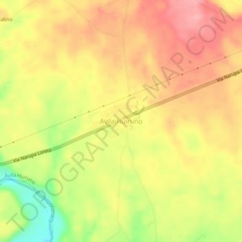
Name: Avila Huiruno topographic map, elevation, terrain.
Location: Avila Huiruno, Ávila Huiruno, Loreto, 220209, Ecuador (-0.73709 -77.36242 -0.69709 -77.32242)
Average elevation: 389 m
Minimum elevation: 320 m
Maximum elevation: 432 m
Other topographic maps
Click on a map to view its topography, its elevation and its terrain.