
塔加 topographic map
Interactive map
Click on the map to display elevation.
About this map
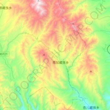
Name: 塔加 topographic map, elevation, terrain.
Location: 塔加, 化隆回族自治县, 海东市, 青海省, 中国 (35.87924 102.56544 36.08283 102.69897)
Average elevation: 2,815 m
Minimum elevation: 2,001 m
Maximum elevation: 4,094 m
Other topographic maps
Click on a map to view its topography, its elevation and its terrain.