
Park Layne topographic map
Interactive map
Click on the map to display elevation.
About this map
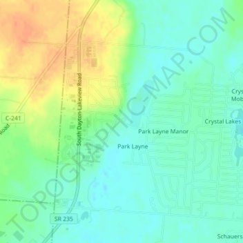
Name: Park Layne topographic map, elevation, terrain.
Location: Park Layne, Clark County, Ohio, United States (39.87859 -84.05121 39.89969 -84.02686)
Average elevation: 267 m
Minimum elevation: 252 m
Maximum elevation: 291 m