
Windwood topographic map
Interactive map
Click on the map to display elevation.
About this map
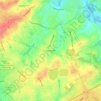
Name: Windwood topographic map, elevation, terrain.
Average elevation: 307 m
Minimum elevation: 266 m
Maximum elevation: 349 m
Other topographic maps
Click on a map to view its topography, its elevation and its terrain.
Dunwoody
United States > Georgia > DeKalb County > Dunwoody
Dunwoody, DeKalb County, Georgia, 30338, United States
Average elevation: 309 m