
淳湖村 topographic map
Interactive map
Click on the map to display elevation.
About this map
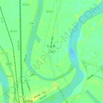
Name: 淳湖村 topographic map, elevation, terrain.
Location: 淳湖村, 九合乡, 永修县, 九江市, 江西省, 中国 (29.03874 115.80137 29.07874 115.84137)
Average elevation: 18 m
Minimum elevation: 9 m
Maximum elevation: 26 m
Other topographic maps
Click on a map to view its topography, its elevation and its terrain.