
Marietta topographic map
Interactive map
Click on the map to display elevation.
About this map
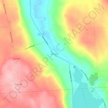
Name: Marietta topographic map, elevation, terrain.
Average elevation: 315 m
Minimum elevation: 225 m
Maximum elevation: 397 m
Other topographic maps
Click on a map to view its topography, its elevation and its terrain.
Howlett Hill
United States > New York > Onondaga County > Town of Marcellus
Howlett Hill, Town of Marcellus, Marcellus, Onondaga County, New York, 13108, United States
Average elevation: 320 m