
Garner topographic map
Interactive map
Click on the map to display elevation.
About this map
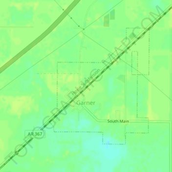
Name: Garner topographic map, elevation, terrain.
Location: Garner, White County, Arkansas, 72143, United States (35.13401 -91.79123 35.15229 -91.77179)
Average elevation: 68 m
Minimum elevation: 59 m
Maximum elevation: 71 m
Other topographic maps
Click on a map to view its topography, its elevation and its terrain.
Doniphan
United States > Arkansas > White County
Doniphan, White County, Arkansas, 72068, United States
Average elevation: 69 m
Romance
United States > Arkansas > White County
Romance, White County, Arkansas, 72136, United States
Average elevation: 192 m
Russell
United States > Arkansas > White County
Russell, White County, Arkansas, 72139, United States
Average elevation: 79 m
Bald Knob
United States > Arkansas > White County
Bald Knob, White County, Arkansas, United States
Average elevation: 73 m