
Schöhsee topographic map
Interactive map
Click on the map to display elevation.
About this map
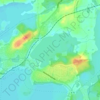
Name: Schöhsee topographic map, elevation, terrain.
Location: Schöhsee, Plön, Schleswig-Holstein, Deutschland (54.15964 10.43031 54.16913 10.45399)
Average elevation: 29 m
Minimum elevation: 15 m
Maximum elevation: 67 m
Other topographic maps
Click on a map to view its topography, its elevation and its terrain.
Behler See
Deutschland > Schleswig-Holstein > Plön > Plön
Behler See, Plön, Großer Plöner See, Plön, Schleswig-Holstein, Deutschland
Average elevation: 27 m
Großer Plöner See
Deutschland > Schleswig-Holstein > Plön > Plön
Großer Plöner See, Plön, Großer Plöner See, Plön, Schleswig-Holstein, 24326, Deutschland
Average elevation: 32 m