
Bradys topographic map
Interactive map
Click on the map to display elevation.
About this map
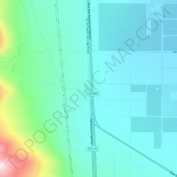
Name: Bradys topographic map, elevation, terrain.
Location: Bradys, Kern County, California, 93542, United States (35.68218 -117.88868 35.72218 -117.84868)
Average elevation: 809 m
Minimum elevation: 708 m
Maximum elevation: 1,264 m