
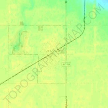
Leonard topographic map
Interactive map
Click on the map to display elevation.
About this map
Name: Leonard topographic map, elevation, terrain.
Location: Leonard, Cass County, North Dakota, United States (46.64385 -97.26216 46.65835 -97.24119)
Average elevation: 320 m
Minimum elevation: 306 m
Maximum elevation: 324 m