
Durham topographic map
Interactive map
Click on the map to display elevation.
About this map
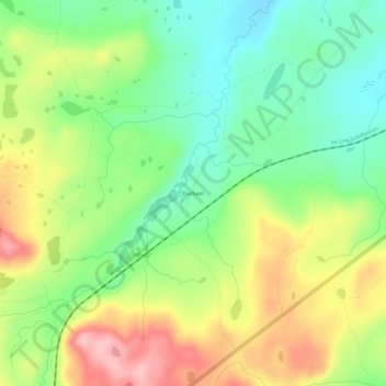
Name: Durham topographic map, elevation, terrain.
Location: Durham, Glacier County, Montana, United States (48.49886 -113.13703 48.53886 -113.09703)
Average elevation: 1,468 m
Minimum elevation: 1,400 m
Maximum elevation: 1,564 m