
Long Island topographic map
Click on the map to display elevation.
About this map
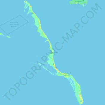
Name: Long Island topographic map, elevation, terrain.
Location: Long Island, The Bahamas (22.85025 -75.34695 23.68631 -74.82682)
Average elevation: 0 m
Minimum elevation: -2 m
Maximum elevation: 45 m
Other topographic maps
Click on a map to view its topography, its elevation and its terrain.