
Bicentennial Park topographic map
Interactive map
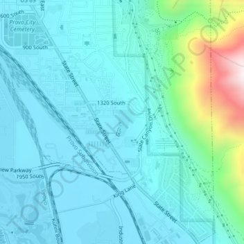
Click on the map to display elevation.
About this map
Name: Bicentennial Park topographic map, elevation, terrain.
Average elevation: 1,466 m
Minimum elevation: 1,365 m
Maximum elevation: 2,004 m
Other topographic maps
Click on a map to view its topography, its elevation and its terrain.
Edgemont
United States > Utah > Utah County > Provo
Edgemont, Provo, Utah County, Utah, 84604, United States
Average elevation: 1,538 m