
San Romolo topographic map
Interactive map
Click on the map to display elevation.
About this map
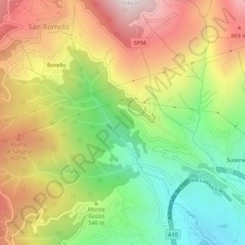
Name: San Romolo topographic map, elevation, terrain.
Location: San Romolo, Sanremo, Imperia, LIG, 18038, Italia (43.83397 7.72985 43.85663 7.74901)
Average elevation: 557 m
Minimum elevation: 140 m
Maximum elevation: 1,020 m