
Ferradal topographic map
Interactive map
Click on the map to display elevation.
About this map
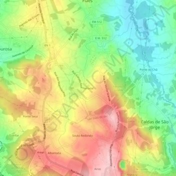
Name: Ferradal topographic map, elevation, terrain.
Location: Ferradal, Fiães, Santa Maria da Feira, Aveiro, 4505, Portugal (40.95461 -8.54452 40.99461 -8.50452)
Average elevation: 206 m
Minimum elevation: 115 m
Maximum elevation: 304 m