
Fondola topographic map
Interactive map
Click on the map to display elevation.
About this map
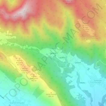
Name: Fondola topographic map, elevation, terrain.
Location: Fondola, Formicola, Caserta, Campania, Italia (41.20142 14.19153 41.24142 14.23153)
Average elevation: 503 m
Minimum elevation: 153 m
Maximum elevation: 998 m