
庙街 topographic map
Interactive map
Click on the map to display elevation.
About this map
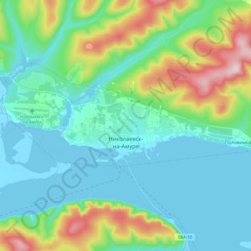
Name: 庙街 topographic map, elevation, terrain.
Location: 庙街, 庙街镇, 尼古拉耶夫斯基区, 哈巴罗夫斯克边疆区, 远东联邦管区, 682460, 俄罗斯 (53.12748 140.62747 53.16579 140.82327)
Average elevation: 89 m
Minimum elevation: -7 m
Maximum elevation: 383 m