
Old City topographic map
Interactive map
Click on the map to display elevation.
About this map
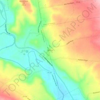
Name: Old City topographic map, elevation, terrain.
Average elevation: 249 m
Minimum elevation: 171 m
Maximum elevation: 340 m
Other topographic maps
Click on a map to view its topography, its elevation and its terrain.
Eatonville
United States > New York > Herkimer County > Town of Fairfield
Eatonville, Town of Fairfield, Herkimer County, New York, United States
Average elevation: 269 m