
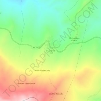
El Malha topographic map
Interactive map
Click on the map to display elevation.
About this map
Name: El Malha topographic map, elevation, terrain.
Location: El Malha, Ibn Ziad, Daïra Ibn Ziad, Constantine, Algérie (36.35740 6.36177 36.39740 6.40177)
Average elevation: 713 m
Minimum elevation: 441 m
Maximum elevation: 1,086 m