
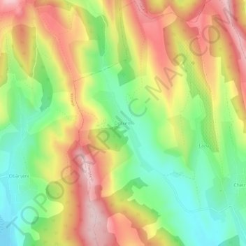
Drăxeni topographic map
Interactive map
Click on the map to display elevation.
About this map
Name: Drăxeni topographic map, elevation, terrain.
Location: Drăxeni, Gherghești, Vaslui, 737274, Romania (46.56220 27.45504 46.60220 27.49504)
Average elevation: 335 m
Minimum elevation: 200 m
Maximum elevation: 480 m
Other topographic maps
Click on a map to view its topography, its elevation and its terrain.