
Spafford Valley topographic map
Interactive map
Click on the map to display elevation.
About this map
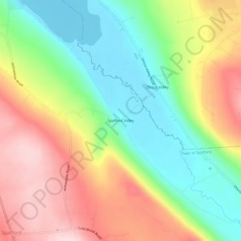
Name: Spafford Valley topographic map, elevation, terrain.
Average elevation: 385 m
Minimum elevation: 239 m
Maximum elevation: 566 m
Other topographic maps
Click on a map to view its topography, its elevation and its terrain.
Otisco Lake
United States > New York > Onondaga County > Town of Spafford
Otisco Lake, Town of Spafford, Marcellus, Onondaga County, New York, 13108, United States
Average elevation: 338 m