
Clayville topographic map
Interactive map
Click on the map to display elevation.
About this map
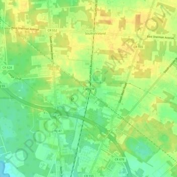
Name: Clayville topographic map, elevation, terrain.
Average elevation: 22 m
Minimum elevation: 6 m
Maximum elevation: 34 m
Other topographic maps
Click on a map to view its topography, its elevation and its terrain.
South Vineland
United States > New Jersey > Cumberland County > Vineland
South Vineland, Vineland, Cumberland County, New Jersey, 08362, United States
Average elevation: 24 m