
Pinto topographic map
Interactive map
Click on the map to display elevation.
About this map
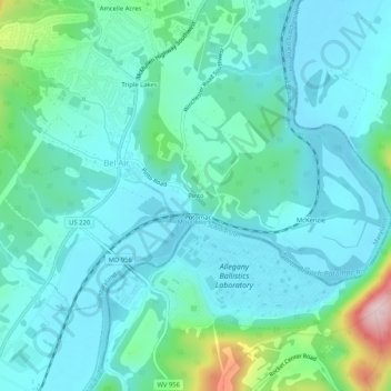
Name: Pinto topographic map, elevation, terrain.
Location: Pinto, Bel Air, Allegany County, Maryland, United States (39.54981 -78.85919 39.58981 -78.81919)
Average elevation: 247 m
Minimum elevation: 192 m
Maximum elevation: 497 m