
Correll topographic map
Interactive map
Click on the map to display elevation.
About this map
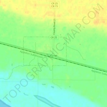
Name: Correll topographic map, elevation, terrain.
Location: Correll, Big Stone County, Minnesota, United States (45.22714 -96.17029 45.23557 -96.15488)
Average elevation: 299 m
Minimum elevation: 285 m
Maximum elevation: 314 m
Other topographic maps
Click on a map to view its topography, its elevation and its terrain.
Johnson
United States > Minnesota > Big Stone County
Johnson, Big Stone County, Minnesota, United States
Average elevation: 346 m
Ortonville
United States > Minnesota > Big Stone County
Ortonville, Big Stone County, Minnesota, 56278, United States
Average elevation: 318 m
Odessa
United States > Minnesota > Big Stone County
Odessa, Big Stone County, Minnesota, United States
Average elevation: 299 m
Barry
United States > Minnesota > Big Stone County
Barry, Big Stone County, Minnesota, 56210, United States
Average elevation: 338 m
Beardsley
United States > Minnesota > Big Stone County
Beardsley, Big Stone County, Minnesota, United States
Average elevation: 336 m
Clinton
United States > Minnesota > Big Stone County
Clinton, Big Stone County, Minnesota, 56225, United States
Average elevation: 352 m
Graceville
United States > Minnesota > Big Stone County
Graceville, Big Stone County, Minnesota, 56240, United States
Average elevation: 337 m