
Marshall topographic map
Interactive map
Click on the map to display elevation.
About this map
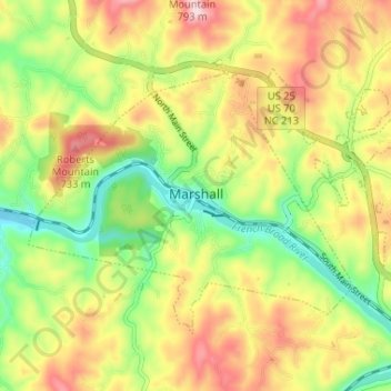
Name: Marshall topographic map, elevation, terrain.
Location: Marshall, Madison County, North Carolina, USA (35.77862 -82.71188 35.81582 -82.64689)
Average elevation: 609 m
Minimum elevation: 483 m
Maximum elevation: 749 m