
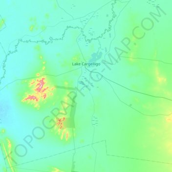
Lake Cargelligo topographic map
Interactive map
Click on the map to display elevation.
About this map
Name: Lake Cargelligo topographic map, elevation, terrain.
Average elevation: 182 m
Minimum elevation: 141 m
Maximum elevation: 539 m
Other topographic maps
Click on a map to view its topography, its elevation and its terrain.
Tottenham
Australia > New South Wales > Lachlan Shire Council
Tottenham, Lachlan Shire Council, New South Wales, 2873, Australia
Average elevation: 221 m
Condobolin
Australia > New South Wales > Lachlan Shire Council
Condobolin, Lachlan Shire Council, New South Wales, 2877, Australia
Average elevation: 237 m