
Potomac Heights topographic map
Interactive map
Click on the map to display elevation.
About this map
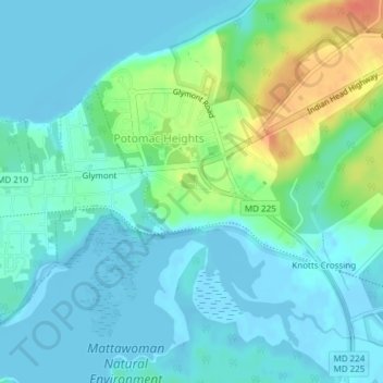
Name: Potomac Heights topographic map, elevation, terrain.
Location: Potomac Heights, Charles County, Maryland, United States (38.58652 -77.15674 38.61343 -77.11884)
Average elevation: 11 m
Minimum elevation: -5 m
Maximum elevation: 46 m